A Virtual Tour of Old Kent Road
08 June - 30 June
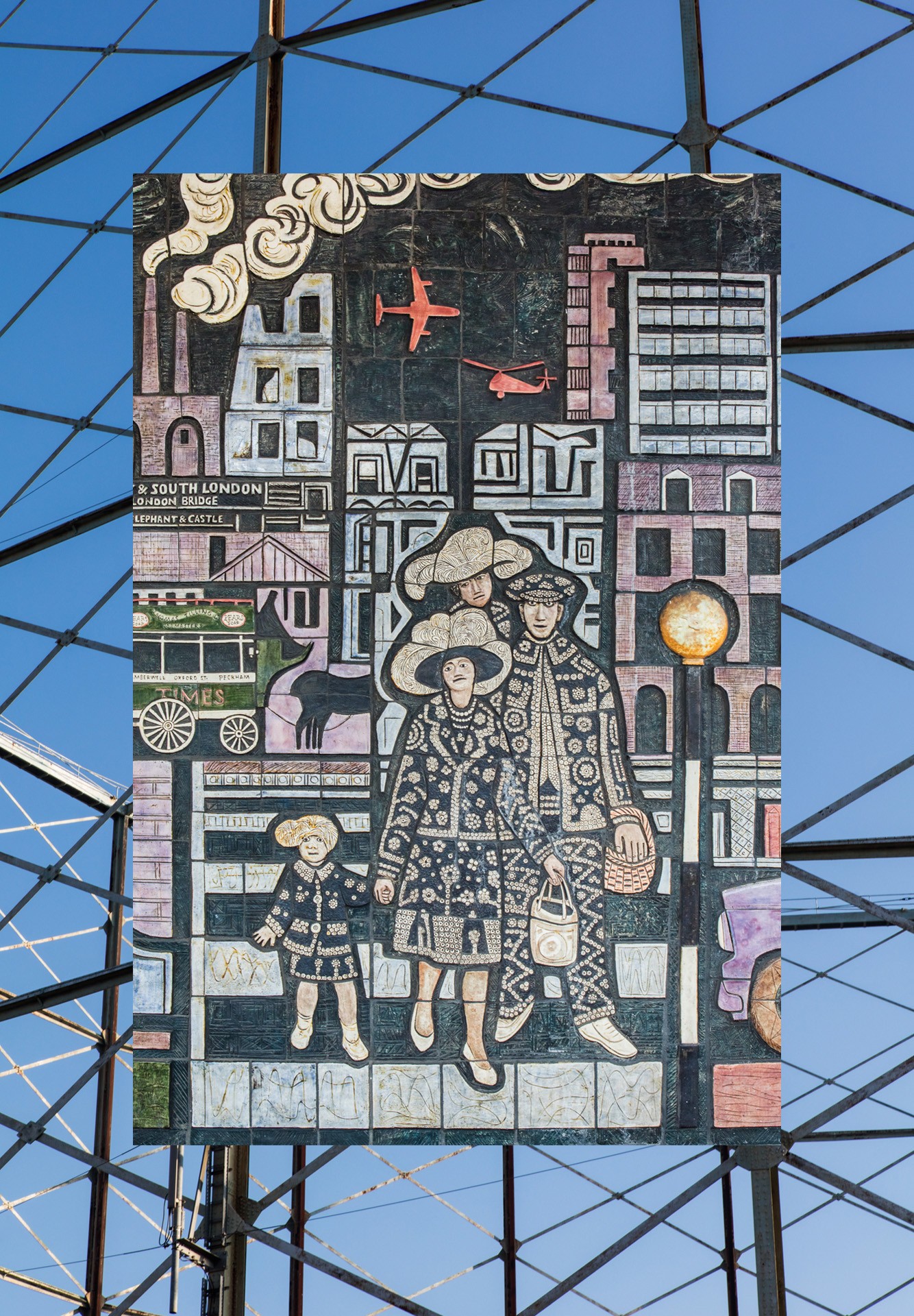
Action OKR working with photographer Alexander Christie, have created an interactive map as a curated exhibition and virtual tour of Old Kent Road. The project serves as a visual investigation, which catalogues the area with work from photographers Alexander Christie and Carmel King. Alongside the photographic studies the map contains information about and provides investigations into the area’s historical sites, housing estates, TRA halls and businesses. The map is be an on-going project with more content being added over time.
Along with providing a virtual tour of the Old Kent Road, It is hoped the map will encourage people to explore the area on foot and experience the various aspects it has to offer. With the rapid changing landscape of the city, parts of the map become archival documentation depicting community spaces and businesses disappearing due to redevelopment. The power of the map is that it represents what currently exists in the area, highlighting the things that need to be considered when planning the future for Old Kent Road.
-------------------------------------------
The map will be going live from the 8th June and is best viewed in a web browser for full functionality. Use the map legend (key) to see a full list of sites and colour coded categories. Follow the links in individual site descriptions to see more images and information. The map is an on-going project and will be growing over time with more sites and content added.
Organiser Info
View this event:
www.google.com/maps/d/viewer?mid=1G_guM01yaW1KvBQRdBVl0wdofCvQTLsf&hl=en&usp=sharing